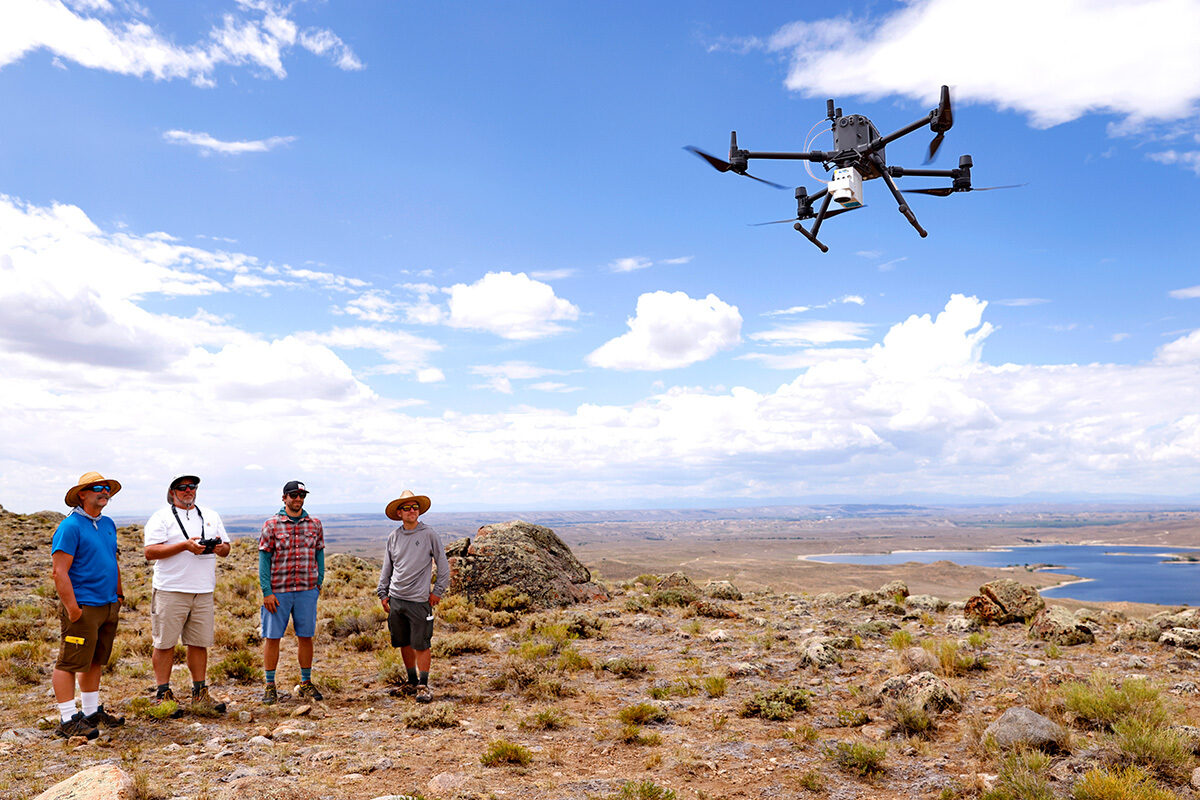
Department of Geography Professor and Chair Douglas Boyle’s research team tested flying a new drone LiDAR system in the Wind River Range in Wyoming. Researchers from left to right are Courtney Meyerholz, Douglas Boyle, Chris Dunbar and Tom Brunner. Photo © Jasmin Shah, 2021
A cutting edge view into the last 20,000 years
University of Nevada Professor and Department of Geography Chair Douglas Boyle has been mapping and modeling glacial terrain and terminal lake basins for the past decade in an effort to build an accurate estimation of climatic conditions over the last 20,000+ years. A new drone-based Light Detection and Ranging (LiDAR) system funded in large part by the Global Climate Change Foundation will make Boyle’s data more accurate.
Learn More
-
Funding in Flight

To make climate change prediction models more accurate, researchers from the University of Nevada Reno's Department of Geography are using new drone technology with support from the Global Climate Change Foundation.